-40%
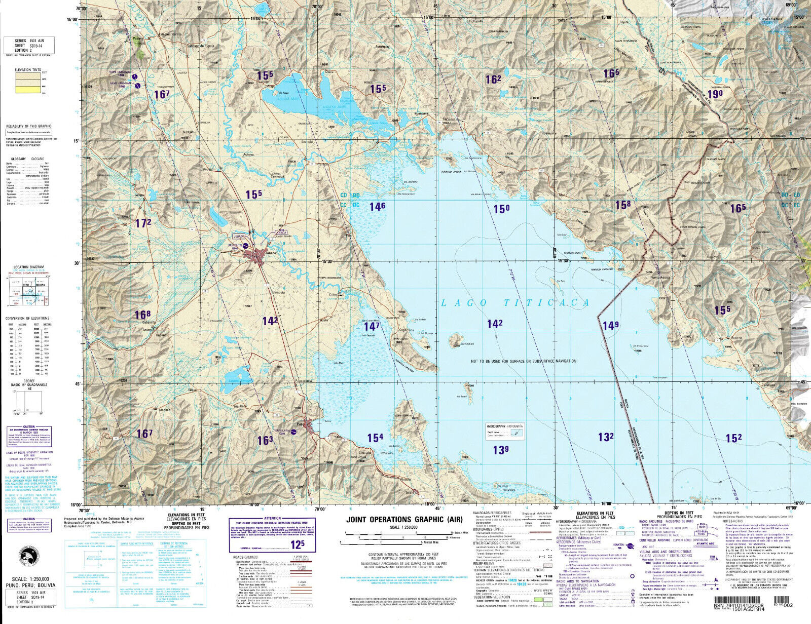
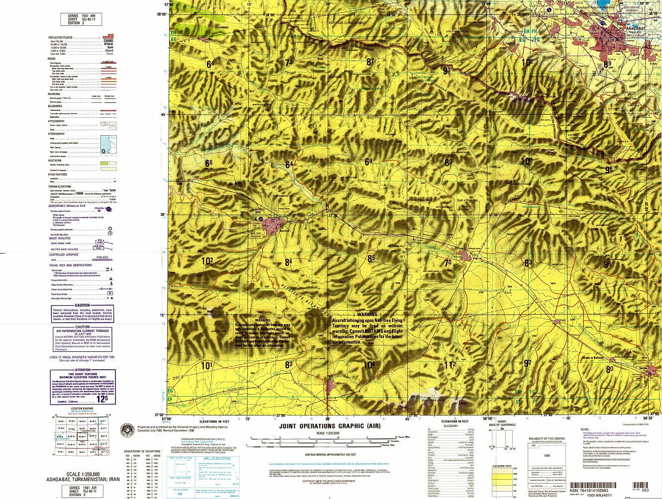
NGA Military Topographic Map of Lake Titicaca, Peru - Bolivia
$ 18.45
- Description
- Size Guide
Description
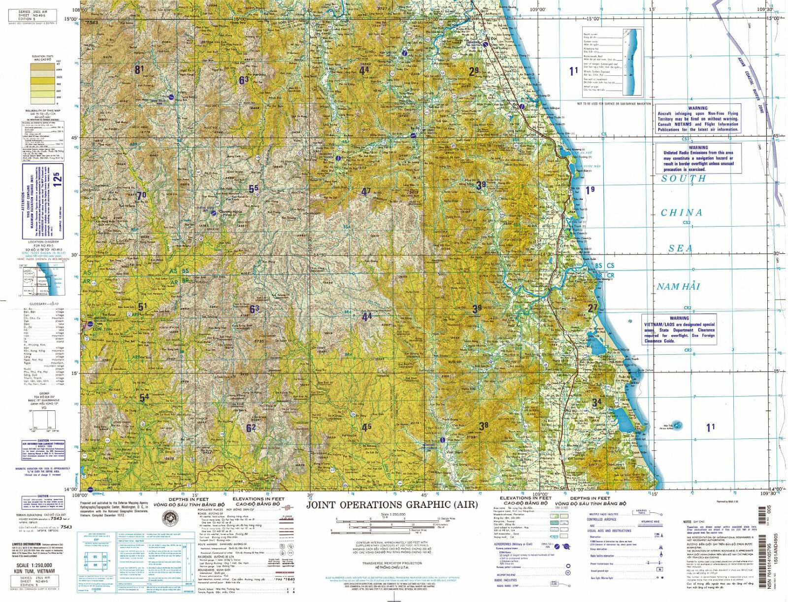
American Military Topographic Map of the northern part of Lake Titicaca (Lago Titicaca) - on the border of Peru and BoliviaMap prepared by the US National Geospatial-Intelligence Agency
Series 1501 AIR (Joint Operations Graphic - Air) Sheet no. SD 19-04
at the scale of 1:250,000
Unique, highly detailed topographic map, surveyed in 1993 and published in 2004. Full-color digital print.
Sheet size 29 * 22.5 in.
Map will be shipped folded.
