-40%
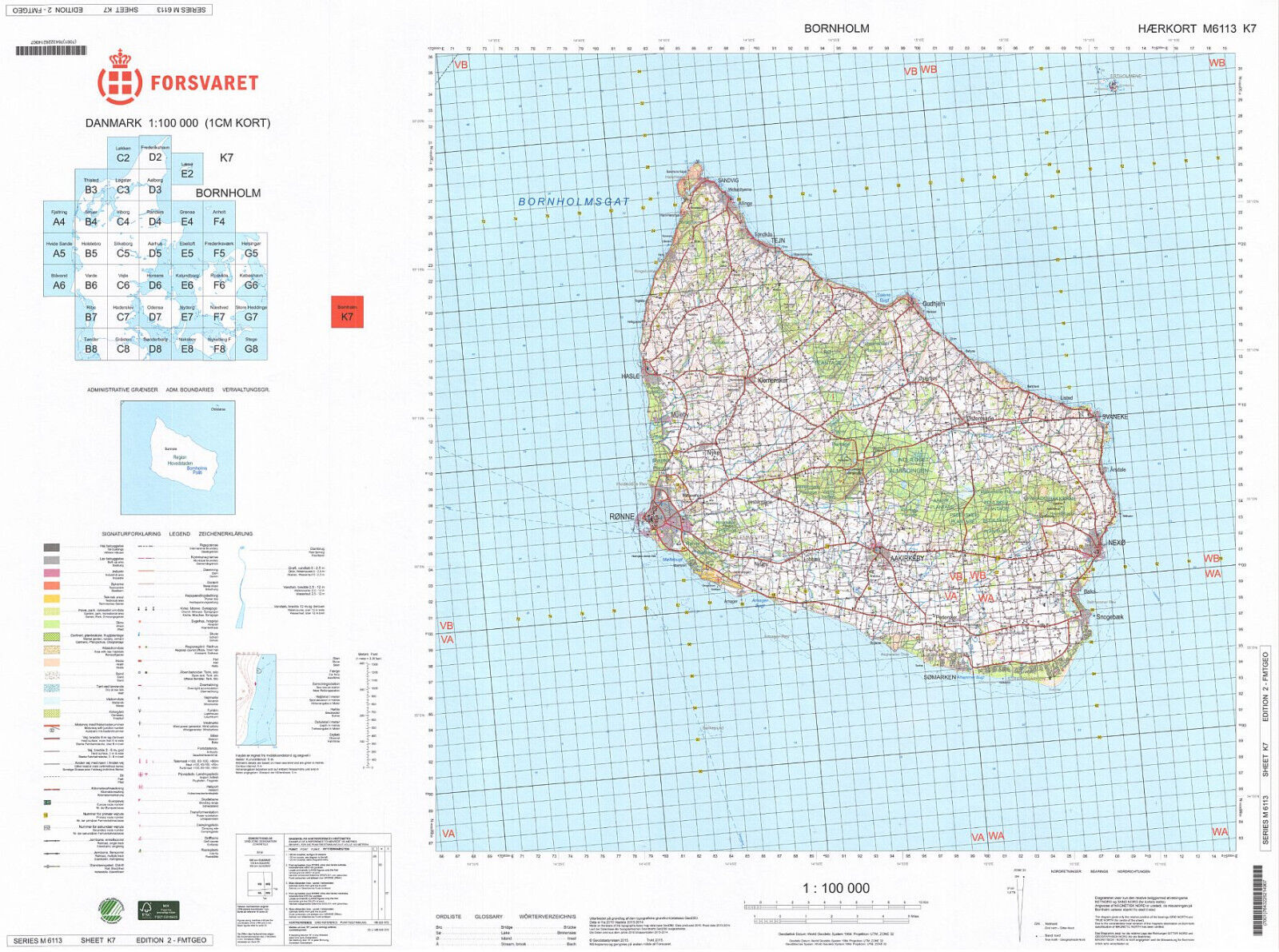
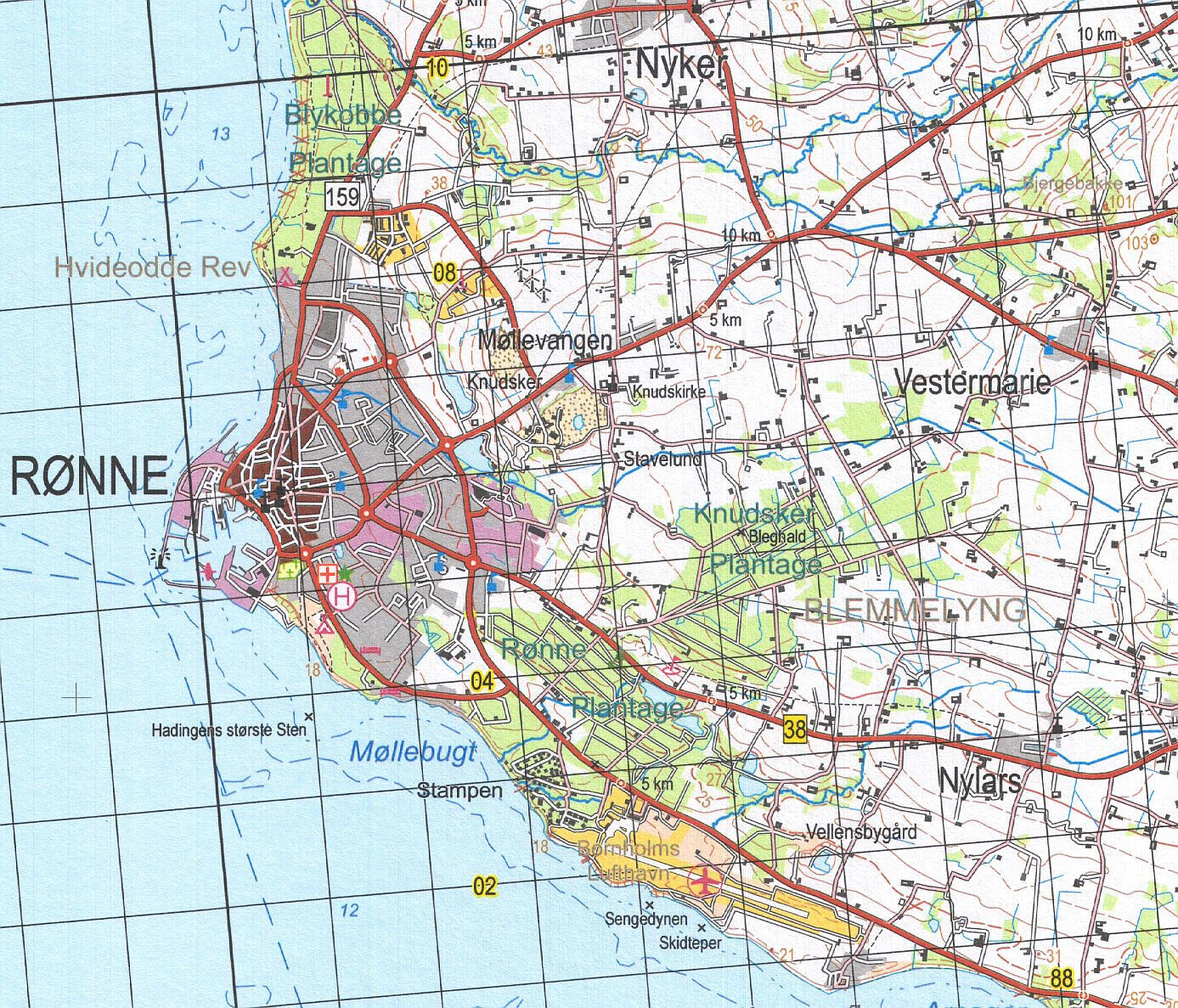
Danish Army Military Topographic Map - Denmark - Bornholm
$ 26.37
- Description
- Size Guide
Description
Danish Army Military Topographic Map - BornholmMap prepared by the Geodatastyrelsen (Geodata Agency) and published by Forsvaret (Danish Armed Forces)
Series M6113. Sheet no. K7 covering
the Baltic Sea islands of Bornholm and Christiansø
at the scale of 1:100,000
Unique, highly detailed topographic map published in 2015. Full-color digital print.
Sheet size 31 * 23 in.
Map will be shipped folded.
